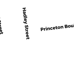
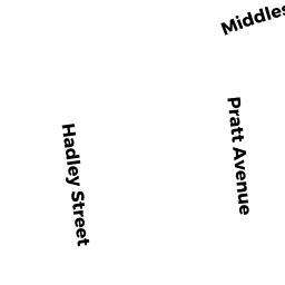
63 HADLEY ST
Owner Information
KEAT KIMENG
63 HADLEY ST
LOWELL, MA 01851 1509


Property Details
63 HADLEY ST is classified as a Single Family Residential (Conventional).
The primary structure on this property was built in 1875. There are 2,440ft2 of built area within this property. There is 1,487ft2 of residential/living space within this property. This property is listed as having 6 rooms.
63 HADLEY ST is valued at $317,500. The land is valued at $125,600 and the structures are valued at $191,900.
This property is in Zone TSF. Confirm with local Zoning Board authorities to ensure there are no overlays or other easements on this property.
The most recent deed for 63 HADLEY ST is recorded at the local registrar in Book 31392, Page 0010. 63 HADLEY ST was last sold on Friday, August 18, 2017 for $238,000.
Assessment data from fiscal year 2021.
Flood Data
This property is partially within the AE Zone (within floodplain). Approximately 0.0 acres (0.34%) of the property is within this zone.
This information is sourced from the FEMA National Flood Hazard Layer. See our full disclamer.
Broadband Internet Providers
| Provider | Type | Bandwidth (mbps) | |
|---|---|---|---|
| T-Mobile | Fixed Wireless | 25 | 3 |
| HughesNet | Satellite | 25 | 3 |
| Verizon New England Inc. | DSL | 7 | 0 |
| VSAT Systems, LLC. | Satellite | 2 | 1 |
| Viasat Inc | Satellite | 100 | 3 |
| GCI Communication Corp. | Satellite | 0 | 0 |
| Comcast | Cable | 1000 | 35 |
Broadband service provider data from December 2020.
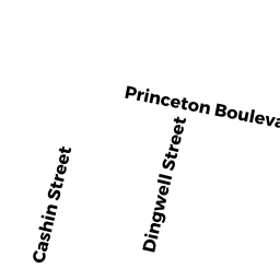
Adjacent Properties
- 53 HADLEY ST
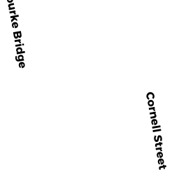
Single Family Residential owned by POUN KOSAL - 56 CORNELL ST
Single Family Residential owned by LAU PETER J - 587 PRINCETON BLVD
Single Family Residential owned by DEROSA ALFRED J JR - 579 PRINCETON BLVD
Single Family Residential owned by BROWN PAULINE F - 589 PRINCETON BLVD
Single Family Residential owned by CAULFIELD EDWARD C